This course was developed for stream restoration designers, technicians, engineers, and other professionals wanting to plot cross-section or longitudinal profile data from RTK Gps or Total Station points.
This course utilizes a QGIS and a QGIS Plugin developed by Tailwater Limited – Station Offset to process the data so that it may be plotted in programs such as Microsoft Excel or River Morph.
The course and plugin were developed to facilitate incorporating RTK GPS technology into the Wildland Hydrology short courses.
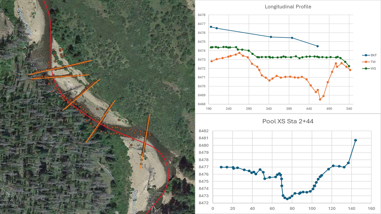
Station Offset Plugin
This course provides step-by-step instructions for running the Station Offset Plugin in QGIS. The Station Offset Tool in QGIS is a plugin developed by Tailwater Limited. The plugin makes it possible to project 3-dimensional survey points to a line. QGIS along with the Station Offset Plugin are available for free.
127 students enrolled
Last updated Jul 24th, 2026